Showing posts with label map. Show all posts

Monday, September 2, 2013

Mappy Monday - Moving in an Oxcart

The migration of the Spurr family from Massachusetts to Maine

From A History of Otisfield p. 589 (see citation below). 
"They (the Spurr family) moved from Dorchester to Wrentham, previous to 1774 and lived there seven years. It is said they lived in Mansfield, Me. or Mass. for a time. They came to Maine in 1776 and lived one year in Saccarappa, a year and a half in Windham, and moved to Otisfield, September 3, 1779. They settled on lot 16 a little south of Spurrs Corner on the west side of the road. Some lilac bushes and the ruins of the old foundation remains (1930). John Spurr lived in the house afterward and then Joseph Knight moved it to his place on the opposite side of the road and occupied it for a woodhouse. It is said that the first night they spent in Otisfield, they camped beside a large stone near the road. (A portion of that stone has since been moved to Spurr's Corner and a memorial tablet placed upon it.) He is buried in the yard south of Spurr's Corner. Through a mistake of the stonecutters the name is spelled Spyrr, instead of Spurr. They had nine children living, all born in Dorchester, and all came to Maine unmarried. They came to Windham in an oxcart and were the fourth family in town."

Going to Otisfield to photograph the stone and tablet is on my genealogy road trip list. 


Joseph Spurr was born November 19, 1731 in Dorchester, MA and died June 17, 1805. He married Miriam Lyon on September 13, 1753. They were my 5th great-grandparents. 

Enoch Spurr b. January 28, 1761 in Dorchester, MA married Abigail Wight b. May 31, 1767 in Wrentham, MA. 

Roxanna Spurr married Edward Stanley on November 2, 1815. 

Mary Frances Stanley married Augustus Mellen Carter. 

Edward Mellen Carter married Fannie May Capen. 

T. Richard Carter was my grandfather. 


Source: 
Spurr, William Samuel. A History of Otisfield: Cumberland County, Maine from the Original Grant to the Close of the Year 1944 by William Samuel Spurr. Otisfield, Me.: Published by the Otisfield Historical Society, 1994. PDF.

Monday, July 2, 2012

Mappy Monday - Isles of Shoals & Great Island

File:Isles of Shoals Map.png

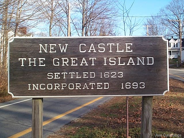
Isles of Shoals - nine small islands that straddle the border between Maine and New Hampshire have been a base for fishermen from the earliest days of New England settlement. No one lives year-round on the islands now but that was not always the case. My 7th great-grandfather, Aaron Ferris bought land there in 1669 and also at Great Island (present-day New Castle, NH). 
Great Island
Genealogical Dictionary of Maine & New Hampshire [database on-line]. Provo, UT, USA:Ancestry.com Operations, Inc. 1998. 
Ferris, Aaron, fisherman, first ment. 1668, of Isles of Shoals in 1669 bot land and a house frame on Great Isl. In 1683, of Great Isl., he bot 20 a. at Spruce Creek, but was still of Great Isl. when he sold his house there in 1695. In 1697, of Kit., he sold the rest of his land on Great Isl. to John Muchemore of Star Isl. Liv. 1712...In 1709 with w. Grace he sold to dau. and son, Grace and Tho. Huff, their entire est. for life supp., and in 1712 Tho. Huff gave 1 1/2 a. to br-in-law Ebenezer and sis. Mary Emmons. Ch: Grace m. Tho. Huff. Mary likelier Ferris than Huff, wife of Ebenezer Emmons (1). (Edw. Vittery m. one Anna Farris in Boston 13 Nov. 1713). 


Aaron Ferris & Grace
Mary Ferris & Ebenezer Emmons
Thomas Emmons & Elizabeth Deering
Eliakim Emmons & Molly Wildes
Jacob Emmons & Sarah Shepard
Laura Emmons & Gilbert Yates
Estes Yates & Eva Delphinia Hayes
Linona Alice Yates - my grandmother


Tuesday, April 24, 2012

Something Old

The historian in me loves old things and the genealogist in me gets really excited when those old things are directly linked to my family. This is a map of the "Township of Holmes in the County of Oxford and the District of Maine." The pictures below show the map in its entirety, writing that identifies my 2nd great-grandfather, Augustus M. Carter and says it was taken from the surveys of James Eames and Silas Thurlow by Jeremiah Lott and copied by Augustus and an original date on the map of April AD 1811!! There is no date that says when the copying was done but Augustus was born in 1840, served in the Civil War, and became a surveyor after that so probably late 19th century. 


Augustus Mellen Carter - 2nd great-grandfather
Edward Mellen Carter - great-grandfather
T. Richard Carter - grandfather